
Aerial survey orchestration
Mission areas, collection status and coverage quality are organized without exposing sensitive operational detail.
A responsible drone and LiDAR workflow can bring India’s varied terrain, forest canopy, field observations and ecological change into one planning environment.
The opportunity
Forests span difficult terrain and change over time. Manual inventories remain essential, but fragmented records and infrequent aerial context can make large landscapes harder to compare.
This representative concept combines drone imagery, LiDAR-derived structure and field validation into an understandable digital workflow. It does not describe a named department, deployment or measured outcome.
Data ownership, survey permissions, ecological review and ground truth are treated as core product requirements—not afterthoughts.
Product strategy
The system makes large-scale spatial evidence useful while preserving uncertainty, validation status and accountable ownership.
Mission areas, collection status and coverage quality are organized without exposing sensitive operational detail.
Point-cloud and terrain layers support careful interpretation of canopy and ground structure.
Time-separated observations can be compared with confidence and validation status visible.
Teams carry focused observations into the field and return verified notes to the shared baseline.
Operating flow
Define approved areas, purpose, governance and field coordination.
Process imagery and LiDAR into traceable geospatial layers.
Prioritize observations while retaining uncertainty and source context.
Confirm findings and enrich the digital record with expert evidence.
Inside the product
These supplied project photographs show the operational platform, active drone survey, field hardware and deployed aerial fleet. Sensitive operational details and performance claims are intentionally excluded.
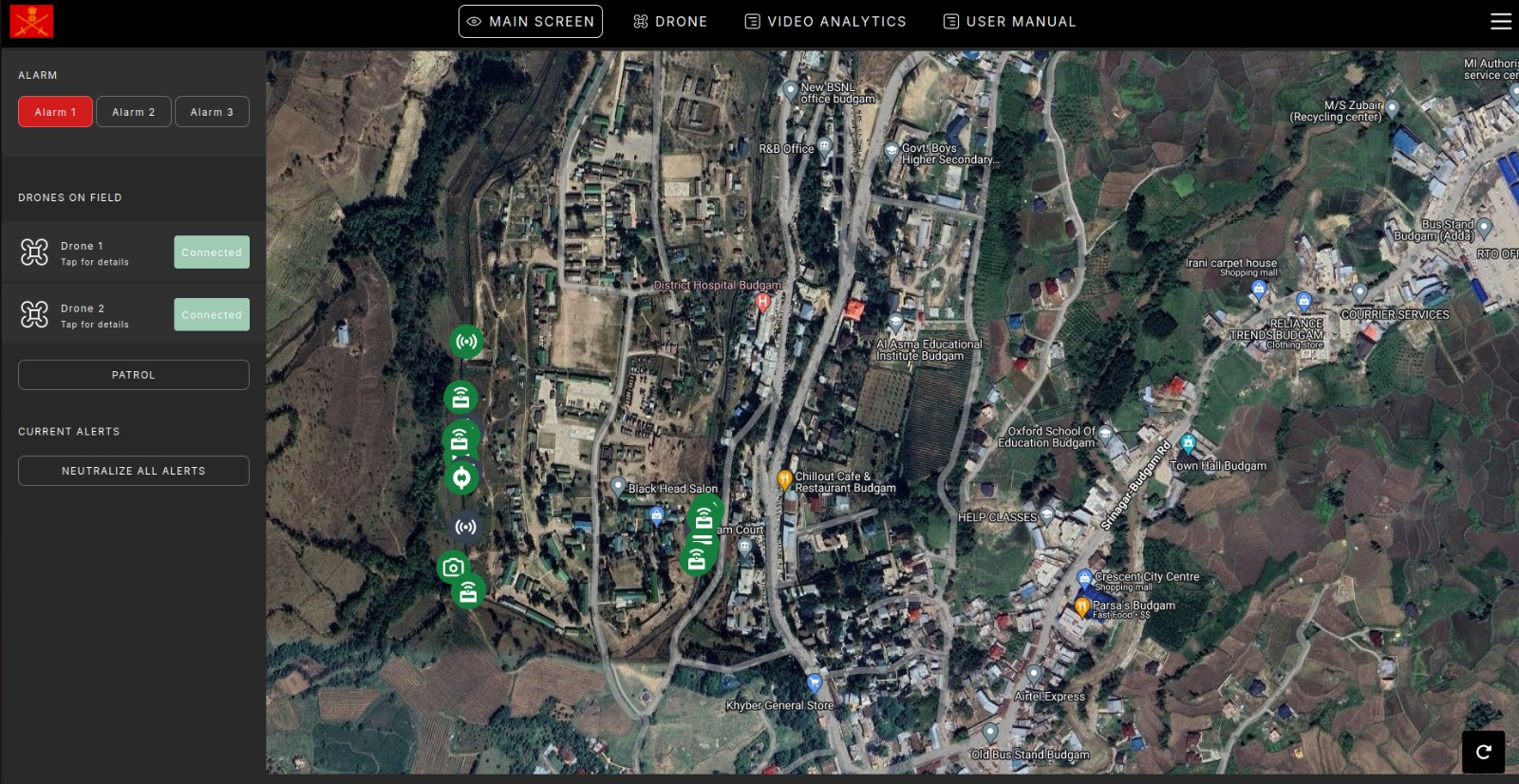
The command interface brings drone status, mapped positions and active alerts into one coordinated workspace.
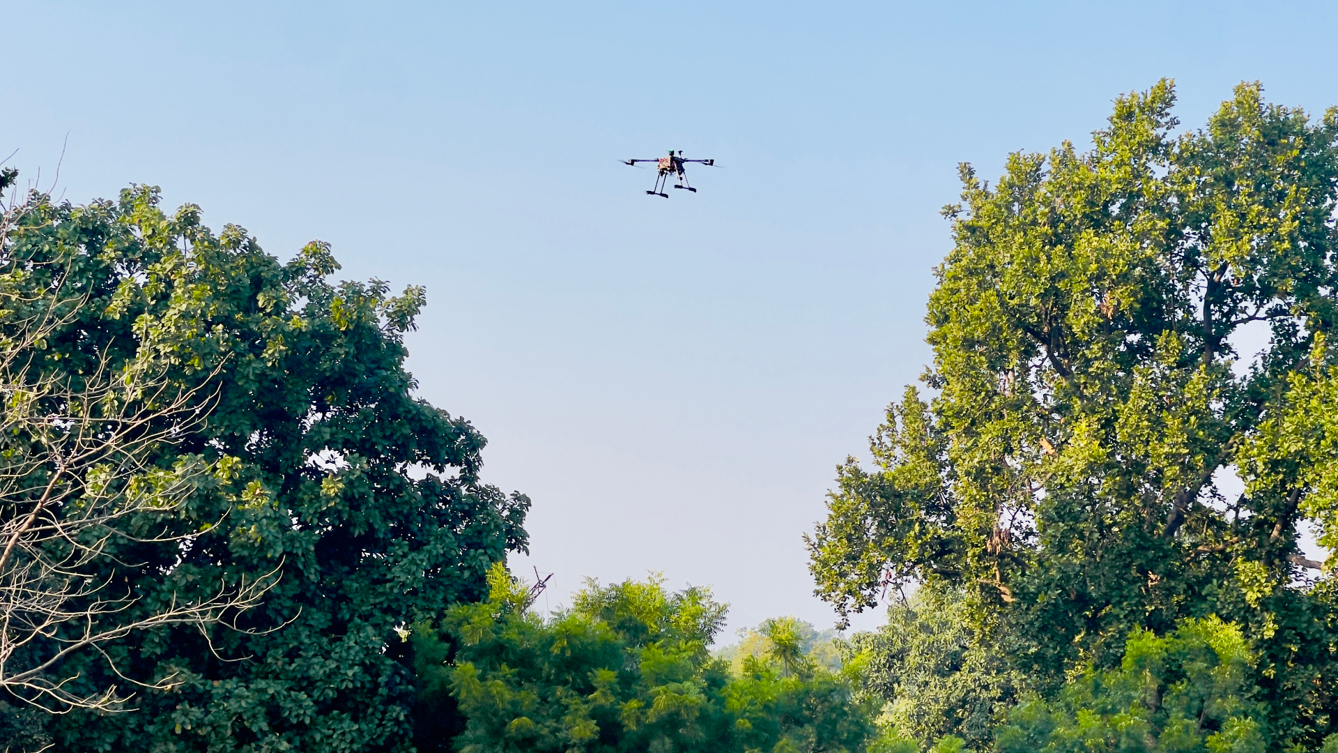
Field-deployed aircraft collect consistent aerial observations across terrain that is difficult to assess from the ground.
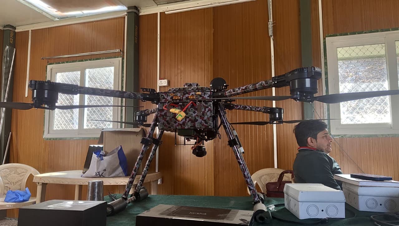
Heavy-lift platforms, stabilized sensors and supporting equipment are prepared as one traceable survey system.
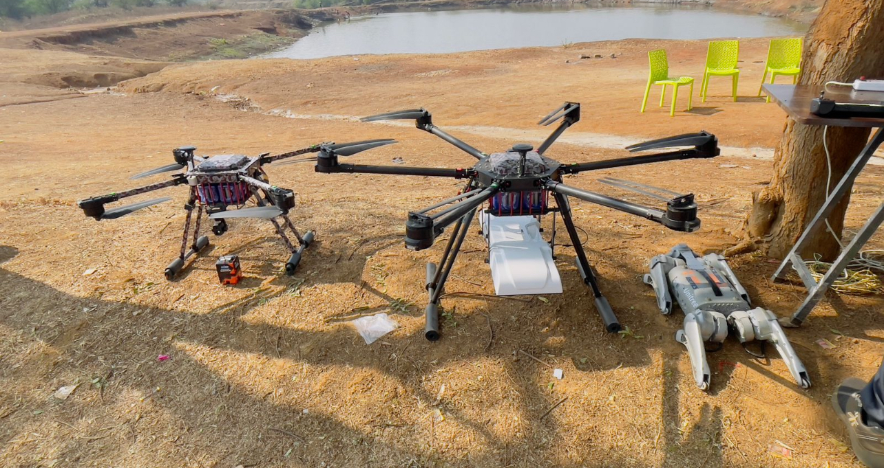
Multiple aerial platforms and field equipment can be coordinated for terrain, payload and mission requirements.
The product vision
SliceVista combines drone workflows, LiDAR processing, geospatial product design and field-centered engineering for complex landscapes.